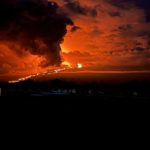
As of 7am on Friday, December 2, 2022, Hawaiian Volcano Observatory reports one active lava flow on the northeast rift of Mauna Loa Volcano. The leading edge of the flow closest to Daniel K. Inouye Highway continues to have minimal movement and remains near the 7,000 foot elevation and 2.7 miles from the highway.
For a map of the Mauna Loa lava flow, refer to the Civil Defense Hazard Impact Map at https://www.hawaiicounty.gov/hazard-impact-map.
Daniel K. Inouye Highway is currently open in both directions. However for safety reasons, the speed limit has been reduced to 35 miles per hour in the vicinity of Mauna Kea Access Road.
Photo credit: New West Broadcasting
