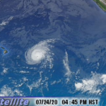
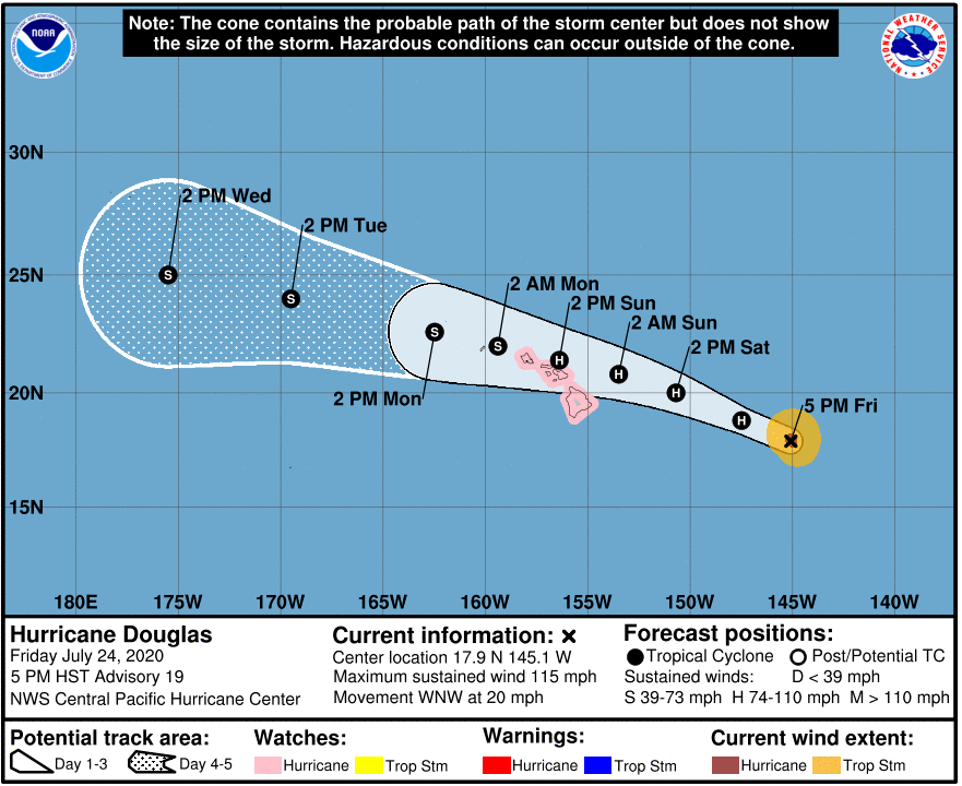
At 500 PM HST (0300 UTC), the center of Hurricane Douglas was located near latitude 17.9 North, longitude 145.1 West or 665 miles east of Hilo. Douglas is moving toward the west-northwest near 20 mph (31 km/h). This motion is expected to continue through Saturday, followed by a slight decrease in forward speed and a turn toward the west. On the forecast track, Douglas will be near the main Hawaiian Islands Saturday night through Sunday night.
Maximum sustained winds are near 115 mph (185 km/h) with higher gusts. Douglas is a category 3 hurricane on the Saffir-Simpson Hurricane Wind Scale. Gradual weakening is expected to continue through the weekend. However, Douglas is still forecast to be near hurricane strength when it nears the islands.
Hurricane-force winds extend outward up to 25 miles (35 km) from the center and tropical-storm-force winds extend outward up to 105 miles (165 km).
The estimated minimum central pressure is 967 mb (28.56 inches).
We’ll have updates on air and online as they become available. Stay informed!
Download our free KWXX and B97/B93 apps for iOS and Android to get the latest breaking news and alerts regarding Hurricane Douglas.
Download the KWXX app today:
iOS: https://tinyurl.com/t92j3np
Android: https://tinyurl.com/y3959plt
Download the B97/B93 app today:
iOS- https://tinyurl.com/yyncvv8r
Android – https://tinyurl.com/y4zrox7l
HAZARDS AFFECTING LAND
———————-
WIND: Hurricane conditions are possible on the Big Island late Saturday night and Sunday, with tropical storm conditions possible
by Saturday evening. Hurricane conditions are possible over Maui county Sunday, with tropical storm conditions possible beginning
late Saturday night.
SURF: Large swells generated by Douglas are expected to begin affecting portions of the Hawaiian Islands on Saturday. These swells are likely to cause life-threatening surf and rip current conditions for a couple of days.
RAINFALL: Heavy rainfall associated with Douglas is expected to affect portions of the Hawaiian Islands from late Saturday night through Monday. Total rain accumulations of 6 to 10 inches with isolated maximum totals of 15 inches are possible, especially in higher terrain. This rain may result in life-threatening flash flooding and land slides.

